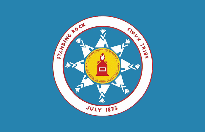
Statistics
Location: Standing Rock Reservation, North Dakota and South Dakota
Land Area: 3,572 square miles
Tribal Enrollment: 16,102
Wind Class: 3-5 at 50 meters
Fun Fact: On June 13, 2014, President Barack Obama visited the Standing Rock Sioux Tribe, his first visit to Indian Country.
Tribal Summary
The reservation is home to two bands of the Lakota Nation: the Sihasapa (Blackfoot) and the Hunkpapa (Head of the Camp Circle). The Dakota people of Standing Rock include the Upper Yanktonai (Ihanktonwana or Little End Village) and the Lower Yanktonai (Hunkatina or Cut Heads). The Hunkpapa and Sihasapa people were known as the horsemen of the plains and primarily hunted buffalo for their needs. The Yanktonai were a river-plains people who did some farming and buffalo hunting.
Standing Rock Reservation straddles the North Dakota/South Dakota border on the western portion of both states, with the Missouri River forming its eastern boundary and the Cheyenne River Reservation its southern boundary. The reservation makes up the entirety of Corson County, South Dakota, and Sioux County, North Dakota. The Tribal headquarters is located in Fort Yates, and residents live in one of 16 tribal communities or in scattered rural homes across the reservation. It is the fifth largest reservation in the United States with expansive tall grass plains, rolling hills and buttes along the Missouri River. The primary land use is ranching and dryland farming.

